Hokkaido · 4 min read · English
Hakodate Manhole Covers: Squid, City Stories and the Right Season
Squid, harbor symbols and a small detail that can change a winter cover hunt.
Listen to the guide
Press Listen to play the guide.
Download MP3 · 3.3 MBHakodate’s municipal colored-cover series is seasonal: the city lists 33 covers in four designs, displayed from late April through late November. Start with its official map, and check the changeover if visiting at either end of that period.
A little harbor history beneath your shoes
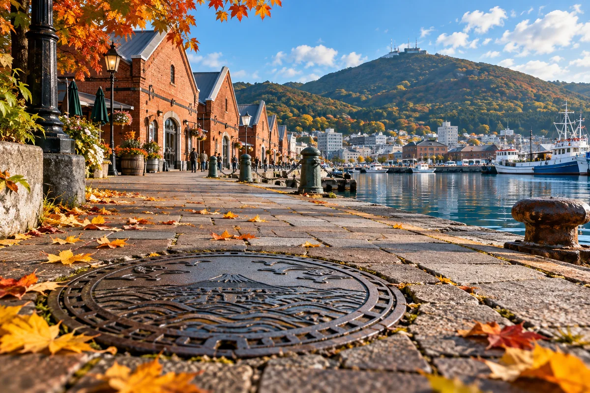
A manhole walk asks you to change the scale of a city. Instead of looking for the largest building or the highest viewpoint, you look for a small picture set into the street. In Hakodate, that picture might lead you back to the waterfront, a familiar landmark or a creature associated with the city. It is an inviting way to give an ordinary walk a second layer.
The municipal series began with a squid design in Motomachi Park in 1989. Colored versions arrived in 1996. Other motifs include Goryokaku and the Old Public Hall, a tourism emblem with a gull and Orthodox church, and Toi’s octopus character. Read the little details before taking the photograph: they explain why this cover belongs here.
The date matters as much as the pin
Hakodate City’s April 2026 information supplies the seasonal window above. It does not promise a fixed changeover day for every location. If the covers are a main reason for your trip, check with the city near the start or end of the season. An older tourism feature gives a slightly earlier November endpoint, so the latest municipal notice should take priority.
For a winter visit, change the aim of the walk. An unpainted cover can still reveal its design through raised lines and texture, and the surrounding city remains part of the story. Do not assume that a plain lid means your map is wrong. The seasonal rule discussed here belongs to this municipal series; Pokémon and GLAY installations have separate information.
Choose a neighborhood before choosing a total
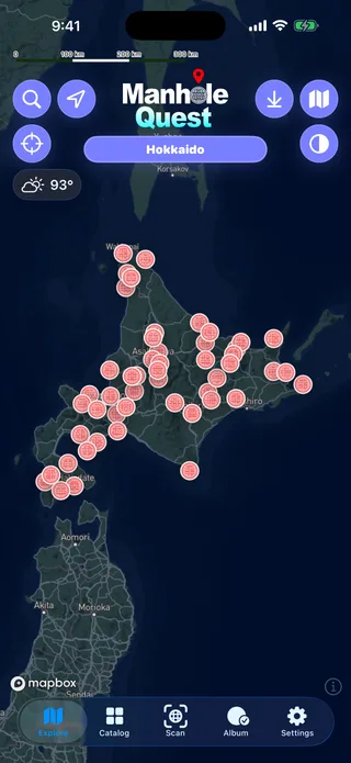
Use the city’s map to pick a handful of stops near the places you already want to visit. The official Hakobura walking feature discusses the station, bay area and Motomachi, and treats Toi as a separate area. That distinction matters more than trying to finish a list: a small cluster lets you look properly, pause for a drink and notice the buildings behind the artwork.
Save the map while you have a connection, then compare each marker with nearby streets and entrances. A motif showing a landmark is not, by itself, an address for that landmark. Let the installation pin guide the final few steps.
A display and a card to look into
Hakobura also describes a four-design display at Acros Jujigai, beside the Jujigai tram stop. This is a useful alternative to investigate when street colors are out of season. Check access before making a dedicated trip; a displayed lid offers a different experience from finding one doing its everyday job in the pavement.
The city’s squid Manhole Card has a separate distribution page. Consult that page and the receiving facility’s current notice for hours and stock, rather than treating a photo of the street cover as a promise of a card. If you keep a travel notebook, the combination is lovely: one picture of the design, one of the streets around it, and a sentence about what the motif helped you notice.
Official and primary sources
Open the current source before travel. These links support the guide; they do not imply affiliation or permission to reproduce official images.
Questions
Does the seasonal rule apply to every cover in Hakodate?
No. This guide describes the municipal colored-cover series. Check separate official pages for Pokémon and GLAY installations.
Should I use a precise November removal date?
The city supplies an approximate seasonal window, not a guaranteed date for every lid. Recheck before a dedicated late-season visit.
How should I choose my first Hakodate stops?
Use the official installation map to select covers near places already in your itinerary, rather than assuming a pictured landmark is the lid’s address.
Related guides
Your first cover walk
Find a small cluster, check the sources, and turn a map into a good day out.
Read & listen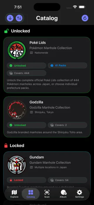
The stories beneath your feet
Discover the local identity behind Japan’s everyday public art.
Read & listen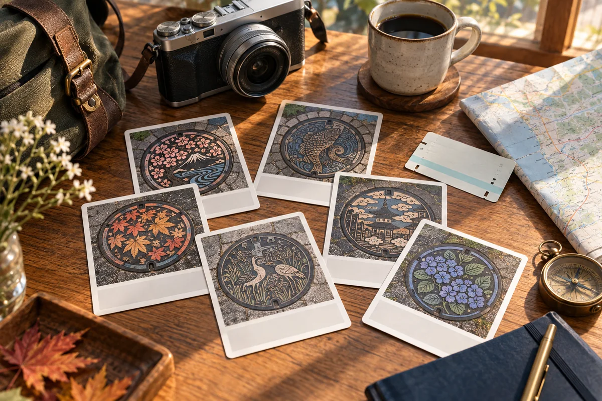
A souvenir with a story
Find the right counter, understand the coordinates and bring home more than a photograph.
Read & listenPlan the route in Manhole Quest
Use the map, official source links, supported offline areas, and on-site scanning to turn the guide into a practical walk.
 Browse all guides