

How to use a decorative manhole-cover map in Japan
Start with a cover map as a planning index, not a guarantee. Choose a small area, check every candidate against the linked official source, download the supported map area before leaving, and recheck access when you arrive.
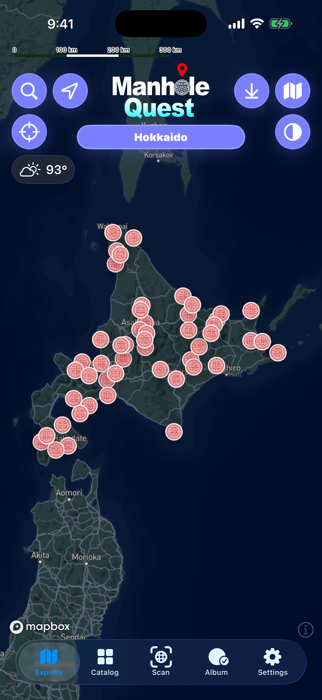
Treat the map as a field index
Japan has ordinary utility covers, municipal emblems, commemorative designs, character installations, and many local variations. A useful cover map brings candidate locations together, but the public street remains the source of truth. Installations can move, be covered by construction, or become temporarily inaccessible.
In Manhole Quest, begin in Explore and narrow the map to the prefecture, municipality, or collection you actually have time to visit. A compact route is more useful than a nationwide screen full of pins.
Build a route that works on foot
- Choose one neighborhood, station area, or short transit corridor.
- Open each cover detail and check the address, official source link, and collection label.
- Group nearby stops, then estimate walking time with crossings, station exits, and daylight in mind.
- Save the supported offline map area before departure and keep an external backup of essential addresses.
- At the destination, confirm the public installation without entering private or restricted space.
Use source dates and provenance
Manhole Quest records source URLs and location metadata from official or documented references. That makes the app useful for discovery, but it does not make every record permanently current. Follow the official link when timing or access matters, especially for installations tied to events, construction, exhibitions, or local campaigns.
Do not copy an official photograph just because it appears on a government or franchise page. Source links establish provenance; they do not automatically grant image-reuse rights.
What to save before the trip
- The supported offline map area for the route.
- The official source page for each high-priority stop.
- A station or landmark fallback when an address is hard to parse.
- Enough battery for mapping, camera use, and the return journey.
- A smaller backup route in case weather, crowds, or works change the plan.
Official and primary sources
Open the current source before travel. These links support the guide; they do not imply affiliation or permission to reproduce official images.
Questions
Does the map guarantee that every cover is still there?
No. Public installations, access, and source pages can change. Recheck the linked official source and the street itself.
Can I use Manhole Quest without a connection?
You can download supported map areas before a trip. Source websites and live service data may still require a connection.
Why not make a page for every cover?
A thin page would add little beyond a pin. The site publishes broader, source-backed guidance and keeps detailed records inside the app.
Plan the route in Manhole Quest
Use the map, official source links, supported offline areas, and on-site scanning to turn the guide into a practical walk.
 Browse all guides